
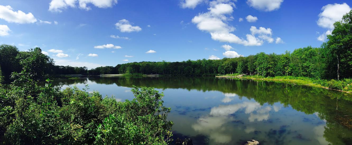
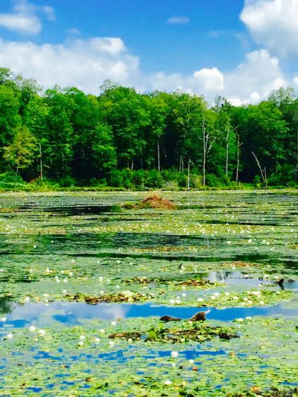
To continue on with my hiking challenge, this past week I hiked the Beaver Brook Trail in Marcella, NJ. It was a beautiful trail mostly in the woods, ending at the Lost Lake (pictured above). It was mildly challenging incline-wise, but those parts were very brief and limited.
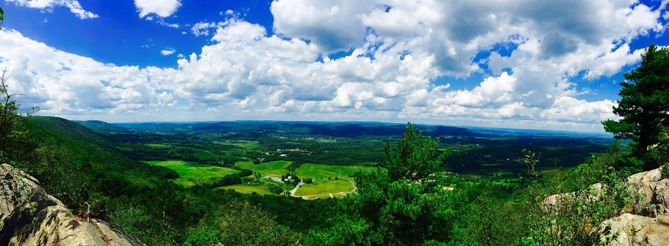
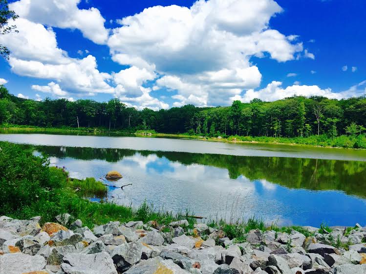
We started out on the Highlands Connector trailhead which brings you right to Saffin Pond (pictured below). It's quite a nice view to start.
The path brings you along the side of the pond until you reach a bench where you make a left to continue following the Highlands trail.
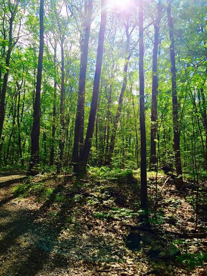
You follow this trail for the first 1.6 miles. It's all in the woods and mostly flat or declining. We rarely ran into anybody except for a few bikers and a couple of people walking their dog. This was the last point we saw walkers before returning to the pond. At 1.6 miles you reach the Beaver Brook Trail.
You continue to follow the Beaver Brook Trail (crossing over the Yellow Trail at 2.1 miles). The trail begins to get a bit more challenging with a change in the terrain and a couple of steeper inclines (but nothing too crazy). You cross over some unmarked trails and the lake starts to come into view.

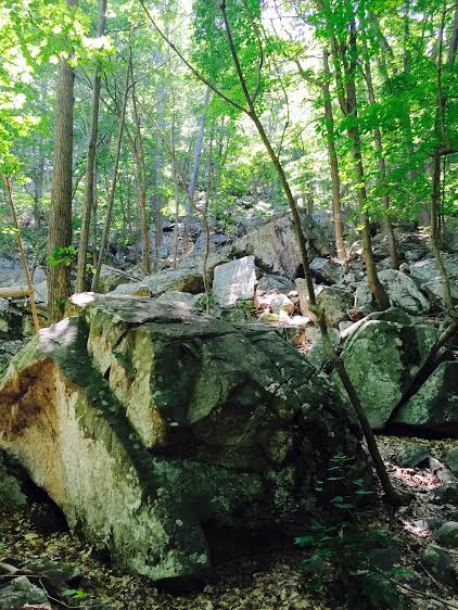
Once you can see the lake, you're very near the end. You come upon Split Rock which is just a giant split rock.

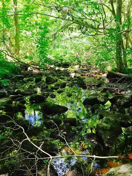
Once you get through the rock and continue a little further you reach a beautiful view of the lake. There are tons of lily pads and a couple of beaver dams. Make sure you continue until you see the very large dam on the right side. The dam kind of creates a second mini lake, and an amazing view.

After soaking in the view (and trying to spot some beavers, which we didn't), we turned around to head back. We did keep hearing a plopping noise into the water, but we couldn't see anything but the splash unfortunately.
We followed the same trail backwards until we came upon the yellow trail. We decided to take this back instead. It also made the trail longer (instead of 6.6 miles we did about 7.5 miles).
The trail back was relatively similar, a little wider and maybe a little less rugged at points. We did see a random rock with smaller rocks piled on it from a previous hiker.

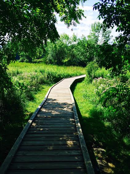
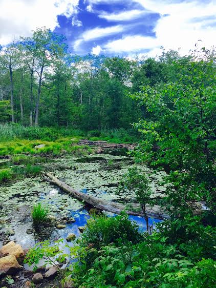
We mostly just wanted to switch up the scenery instead of doing the same trail twice. But we did also get to enjoy the added view of a marshy area and a little frog friend.


We followed the yellow trail all the way back until we came upon the initial pond and finally the parking lot. Our legs were ready for some stretching and our feet were ready for a break at this point.
Overall, the hike was very pretty, especially the lost lake. The beaver dams were an awesome and unique sight. The trail was very empty, and we rarely passed anybody (especially on foot). Most people we crossed paths with were bikers or people by the pond in the beginning. In terms of difficulty, I expected this hike to be harder than it was. From what I had read, it was given a moderate level of difficulty. I might give it an easy. There weren't many inclines, but the distance did add up. I would recommend it to anyone looking for a nice walk with some great views.
For a full step-by-step overview of the Beaver Brook Trail to Lost Lake click here.